PLSS stands for public land survey system. It is used to subdivide and describe land in the US. This PLSS map is of the original PLSS of Scott county, showing all of the roads.
Isotach maps are maps with lines that show equal wind speeds. This map is displaying four different panels of Isotachs of North America measured at different speeds.
An Isobar is a map that displays lines of equal atmospheric pressure. There are three rules that apply to an Isobar map; Isobar lines never cross or touch, the Isobar lines can only pass through pressures of +1000 or -1000 and lastly atmospheric pressure is shown in mb (millibars). This map is displaying the atmospheric pressure around and over Europe.
a DOQQ map is a pixel based image of an aerial photo in which the terrain and the displacements from the camera have been extracted. The image is a combination of a picture and the geometric aspects of a map. This image shows the areas that were impacted by Hurricane Katrina and Rita.
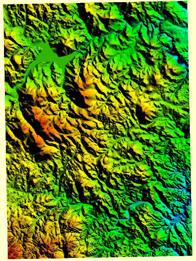
DEM stands for Digital elevation model. Its digital representation of ground surface topography. This DEM is just a sample of what a DEM would look like.
A windrose is a tool meteorologists use to summarize the view of how fast the wind is moving and in what direction in a particular area. This picture is just an example of what windrose looks like.
LIDAR stands for Light Detection And Ranging. Its done by using a laser beam scanned from side to side by an aircraft that flies over an area to make an accurate model of the ground and its features. It measures between 20,000 to 150,000 points per second.